About Major Geomatics Engineering In Turkey
About Major Geomatics Engineering In Turkey
The Requirement Geomatics Engineering In Turkey
Frequent Question Geomatics Engineering In Turkey
Apply Now!
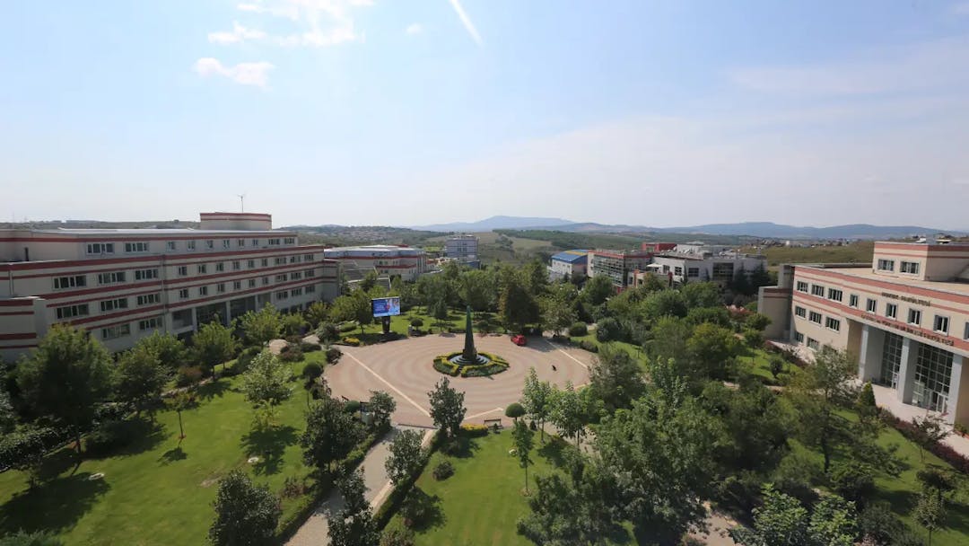
University Available Geomatics Engineering In Turkey
About Major Geomatics Engineering In Turkey

An overview of Geomatics Engineering:
Geomatics engineering is a branch of civil engineering and geometric engineering that combines engineering knowledge, geographic knowledge, and geocomputing, which is concerned with collecting, analyzing, and managing spatial data, as well as applications of remote sensing techniques and geographic information systems (GIS) in engineering projects and geographic systems.
The scope of work in geomatics engineering ranges from field measurements to the use of modern technology such as satellites and drones to collect data, and computing applications to analyze and store spatial data. This specialization also includes the design and development of spatial information systems that provide effective management and useful use of geographic information in various fields such as city infrastructure, environment, agriculture, natural resources, urban planning, and others.
The Geomatics Engineering major includes a wide range of topics, including:
- Geographic Information Systems (GIS): includes the design, development, and applications of geographic information systems, which allow the storage, analysis, and display of geographic and spatial data.
- Remote sensing: includes the use of satellites, drones, and other devices to collect geographic and spatial data remotely, such as aerial and terrain images.
- Geometric surveying and cartographic surveying: This specialty includes precise measurement operations and field surveying of land, buildings, infrastructure, and engineering facilities using technologies such as theodolite, GPS, and laser.
- Optical Geographic Information Systems: A technology that uses laser beams to create three-dimensional models of the land and terrain with high accuracy.
- Spatial data analysis: This specialization includes the use of software and computer tools to analyze geographic and spatial data to understand spatial phenomena and make engineering and environmental decisions.
Geomatics engineering provides advanced engineering solutions to complex problems related to the environment, infrastructure, urban planning, natural resources, and more.
The specialty of geomatics engineering arose in the early twentieth century with the development of surveying and aerial photographic techniques. Surveying and geographic data analysis have merged with technological development, as advances in GIS and satellite sensing have led to broad applications in urban planning and natural resource management, including the environment, agriculture, transportation, and energy, making it an essential specialty in contemporary engineering.
In short, geomatics engineering is considered a modern specialty in the field of engineering that focuses on dealing with spatial data and its applications in various engineering and research fields.
Why study Geomatics Engineering in Turkey?
If you are planning to study Geomatics Engineering, Turkey will be one of the best educational opportunities for you, given the progress in Turkish research in this sector. Turkish universities are keen on the quality of the educational curriculum to comply with international standards. Universities also exploit all their capabilities to serve the requirements of the Geomatics Engineering specialty to ensure students excel in their educational and professional lives.
Here are some reasons why students may choose to study in Turkey for this major:
- Prestigious universities: Turkey includes many well-known and internationally accredited universities and leading research centers in the field of geomatics engineering, where private universities invest in modern infrastructure and advanced equipment to support research and development in this specialty.
- Highly skilled faculty: Have the ability to research and design new geomatics engineering applications, methods and models, as well as analyze the latest updates in the development of geomatics engineering systems.
- Cultural and social diversity: Turkey is a country that combines tradition and modernity, East and West, and a diverse cultural experience is available among international students studying in Turkey.
- Research and innovation environment: Dynamic programs adapted to recent changes and developments in the geomatics engineering sector and technological research. This creates a suitable environment for studying geomatics engineering and innovation in this discipline.
- Affordable cost of living: Compared to some other countries, Turkey offers a reasonable cost of living, making it an attractive destination for international students.
Overall, Turkey offers an exciting and attractive environment for studying in the field of geomatics engineering, and is increasingly popular among international students pursuing geomatics engineering.
Skills needed to study Geomatics Engineering:
To study geomatics engineering, you need a variety of technical and mental skills. Among these skills:
- Ability to understand the rules of mathematics, algebra and statistics for data analysis and geomatics applications.
- Ability to understand engineering concepts such as measurements, surveying, aerial photography, and topography.
- Ability to program and use the tools and software necessary to analyze geographic data.
- Ability to understand geographic information systems (GIS), remote sensing techniques, and geometric tools used to compile data.
In short, geomatics engineering requires a comprehensive set of technical and mental skills, and needs a combination of engineering, scientific and technical knowledge to effectively analyze and manage spatial data.
The average annual salary for beginners to a major is Geomatics Engineering $65,000
The Requirement Geomatics Engineering In Turkey
Passport
Personal photo
Toefl
High school diploma
High school transcript
Frequent Question Geomatics Engineering In Turkey
What is Geomatics Engineering?
Geomatics engineering specializes in collecting and analyzing spatial data and its applications. Civil engineering and geometric engineering are integrated with remote sensing and geographic information systems (GIS) technologies. The scope of work includes surveying, geometric surveying, geographic data analysis, and remote sensing. It is used in urban planning, natural resource management, transportation, etc. It includes applications such as laser, satellite, and image analysis. It relies on modern technologies to generate accurate data used in developing infrastructure and making engineering and environmental decisions.
What is the importance of Geomatics Engineering?
Geomatics engineering is fundamental to understanding terrain and managing resources. Enables the analysis of spatial data and its applications in urban and environmental planning, and the construction of infrastructure accurately. Engineers use it to provide advanced solutions in the fields of construction and the environment, contributing to sustainable development and improving urban quality. Thanks to its advanced technologies such as GIS and remote sensing, it contributes to making effective and sustainable decisions in the fields of engineering and scientific research.
What is the purpose of Geomatics Engineering?
Geomatics engineering aims to analyze and manage spatial data effectively. Seeks to understand spatial relationships and their applications in urban planning, natural resource management, and infrastructure development. Remote sensing and GIS technologies are used to provide accurate solutions in the fields of civil and environmental engineering, contributing to improving life and the environment.
What do Geomatics Engineering graduates do?
Geomatics engineering graduates can work in a variety of fields and industries, including:
- Civil Engineering: Geomatics engineers can work in designing and developing city infrastructure, roads, and bridges using surveying techniques and geographic information systems.
- Urban Planning: Geomatics engineers can work in analyzing spatial data and developing maps and city models to improve urban planning and sustainable development.
- Geoinformatics Technologies: Geomatics engineers can work in developing and managing geographic information systems, geographic technologies, and related software.
- Scientific Research: Geomatics engineers can participate in scientific research in areas such as environmental science, geography, and remote sensing.
In short, Geomatics Engineering graduates have broad opportunities to work in many industries and fields that require a deep understanding of spatial data and the use of modern technologies to analyze and apply it in engineering and research work.
University Available Geomatics Engineering In Turkey

| University | Language | Tuition fees (Schedule) |
|---|---|---|
| Istanbul Okan | English | - |


